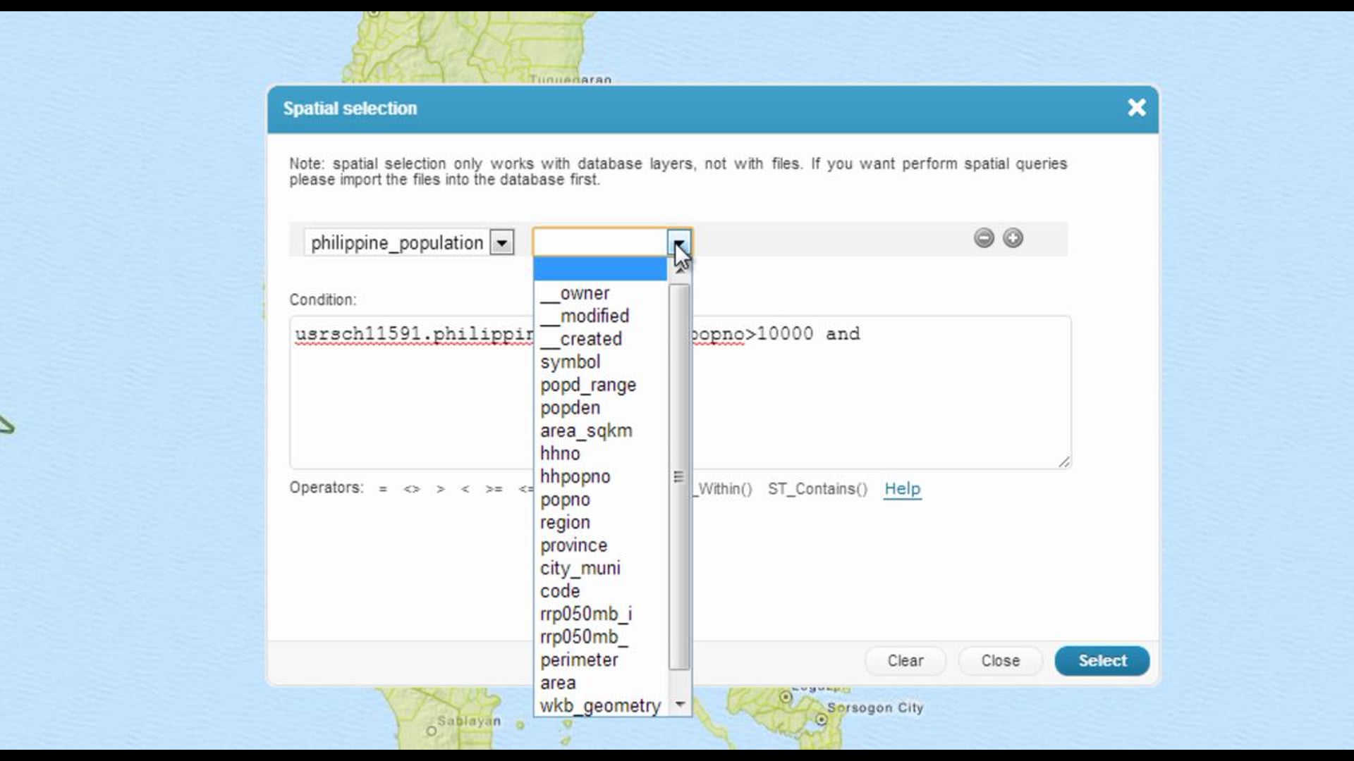
Spatial selection tool allows you to select features using custom selection conditions.
Everything you need to know about GIS Cloud apps and platform
Spatial selection tool allows you to select features using custom selection conditions.
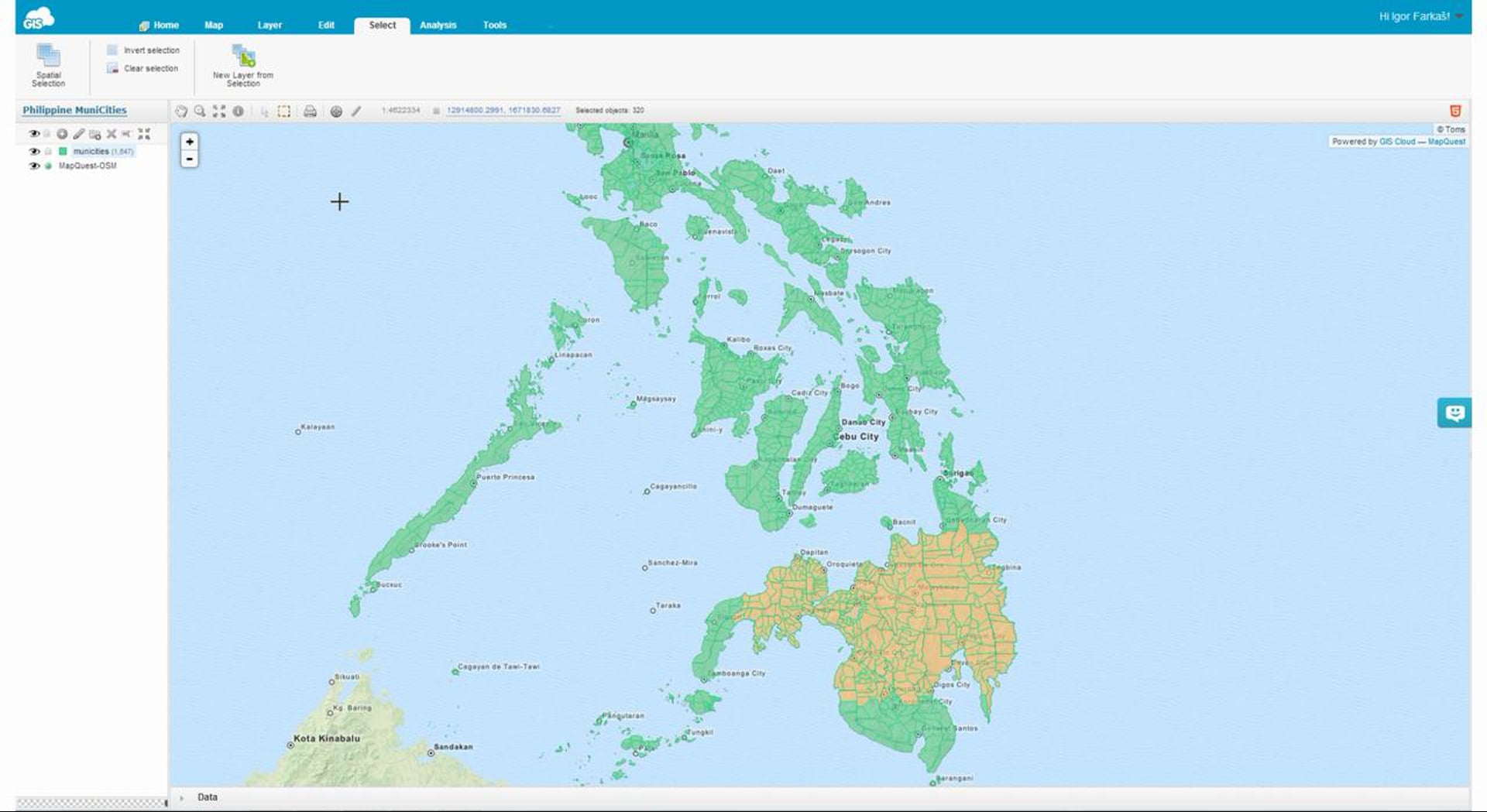
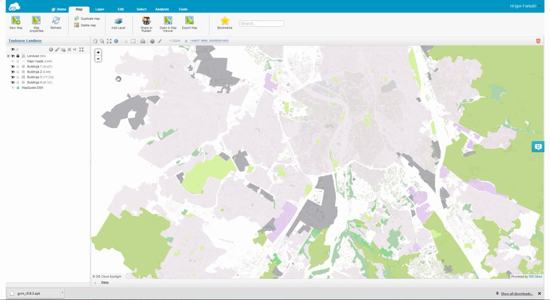
As you might have already discovered, Map Editor application allows you to select any feature on a map.
This option is crucial for performing any operations on geographic area or features of your choice.
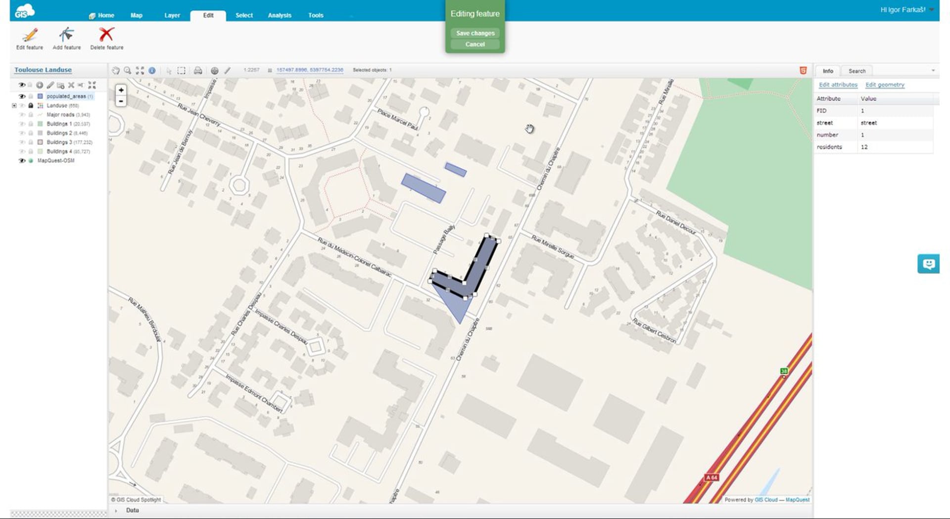
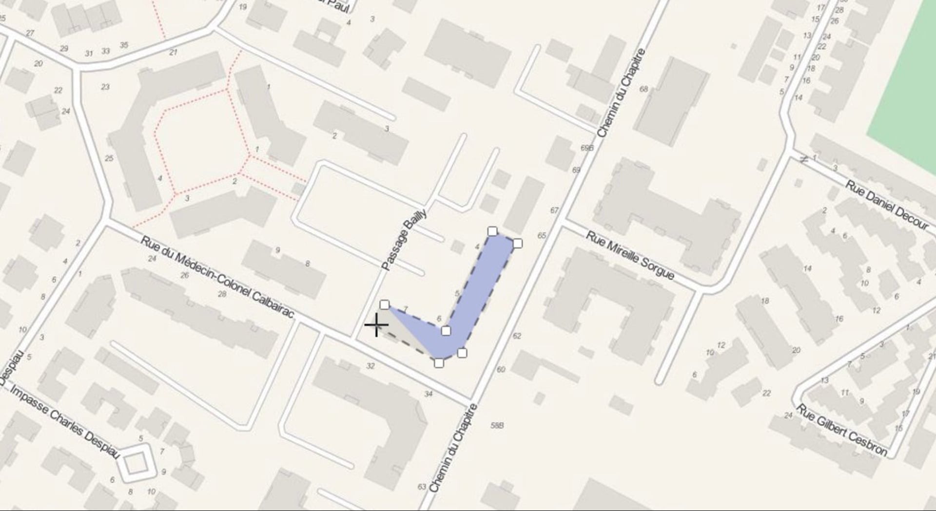
In this video we would like to show you how to edit the geometry and attribute data or even delete some of the features of your layers.
In addition to uploading existing data layers to your maps, in Map Editor application you can also create new layers simply by selecting the Create Layer button under the Layer tab.
In the Map Editor application you can choose at which zoom levels the features and it’s labels become visible.
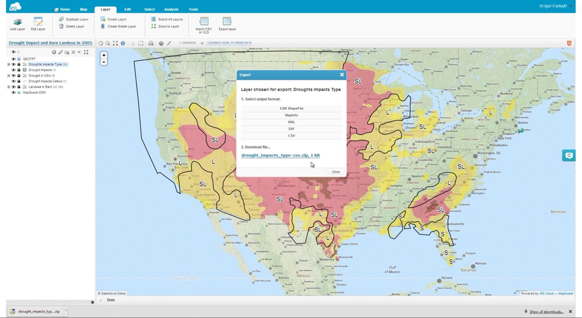
Let us know what data formats would you need for your projects.
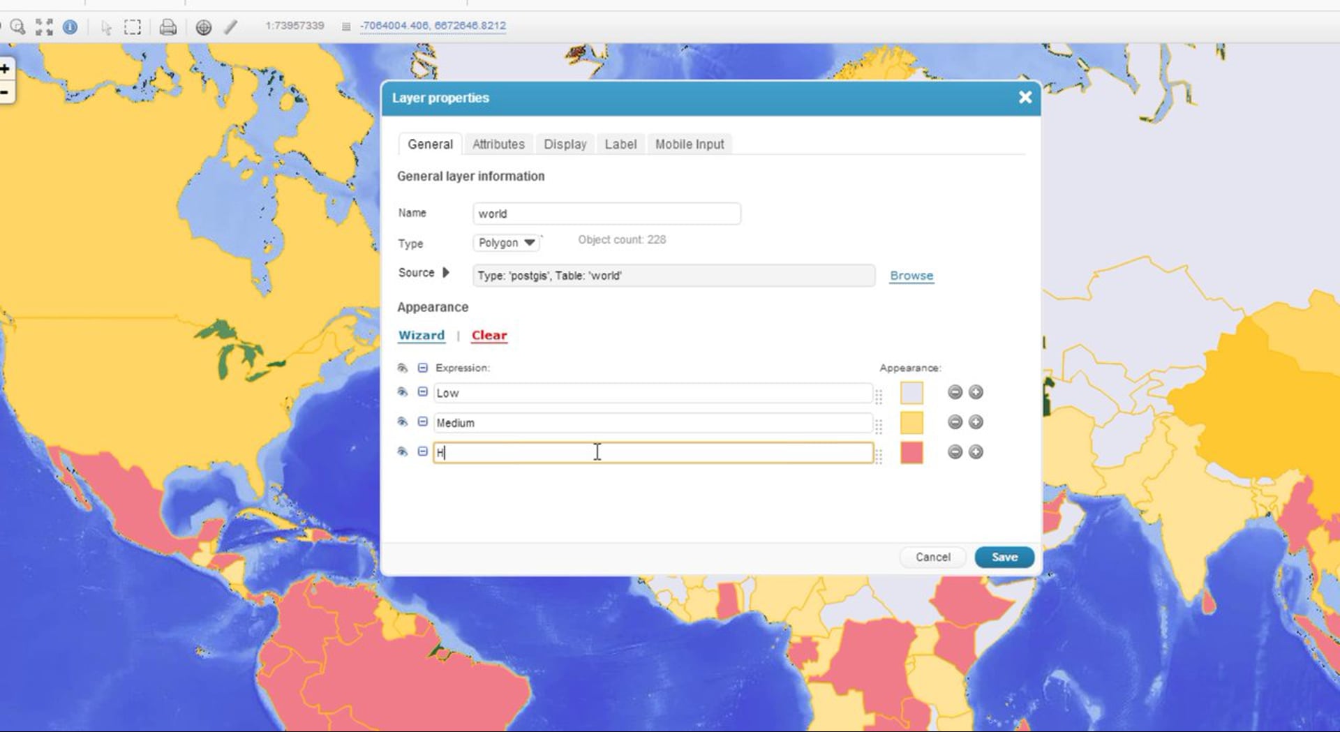
In this video you can learn how to manually add new or remove existing classes, manage symbology for each of the classes separately, write expressions, define legend labels and in that way create custom classifications that will completely suit your needs.
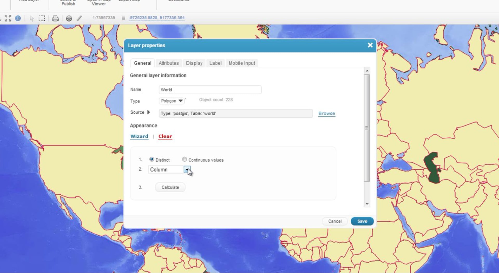
With the Map Editor application you can classify your layers by its attributes and in that way create thematic maps you need.
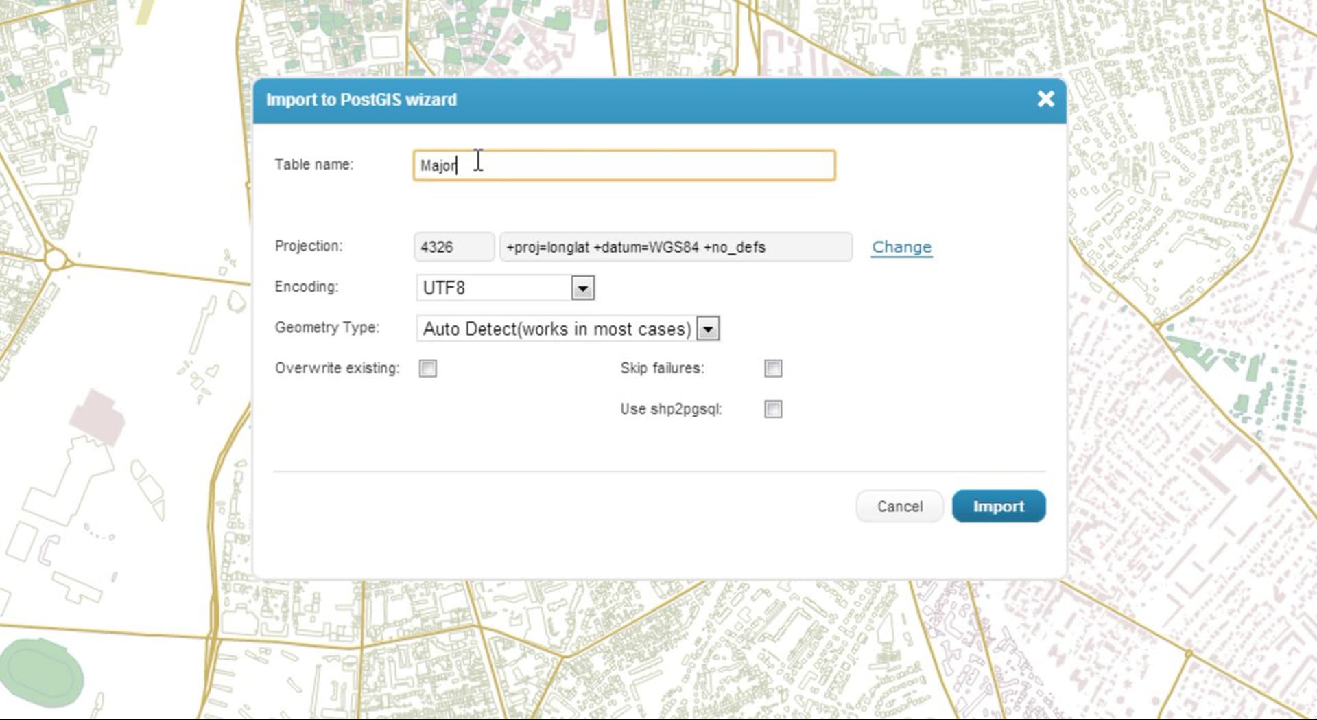
In the last video we showed you what you can do with our Database Manager so In this spotlight we would like to focus more on how to use this tool for importing data into your PostGIS database.
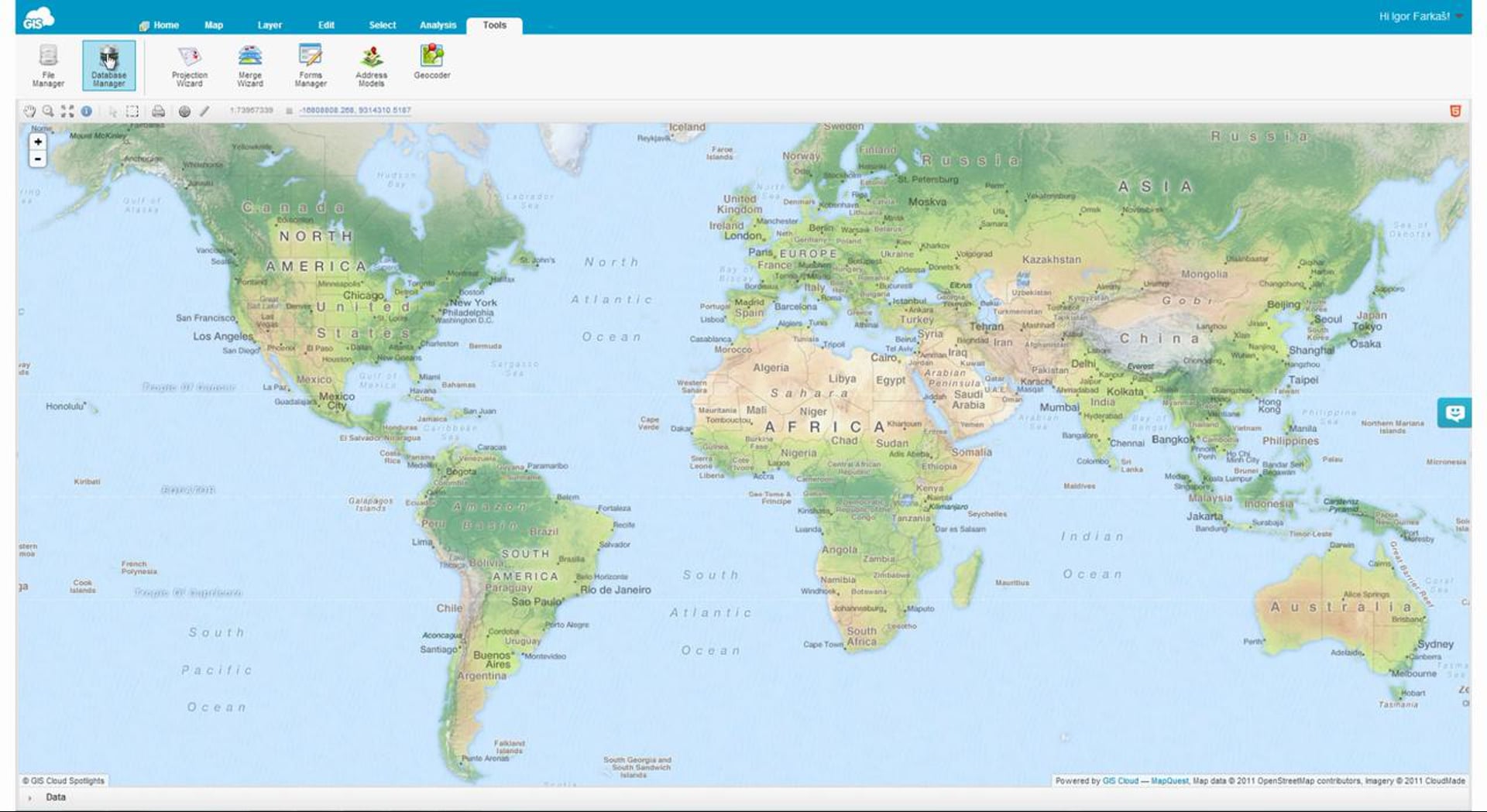
The Database Manager which can be found under the tools tab allows you to connect to an outside postGIS database, organize data and import layers from the file system source into the database.