Skip to content
Skip to main navigation
Skip to footer
GIS Cloud Learning Center
Everything you need to know about GIS Cloud apps and platform
GIS Cloud Home
Log in
Create an Account
Search
Search in:
Everything
Knowledge Base
FAQ
Learning Center
Pages
Learning Center
Apps and Features
Manager
Map Editor
Map Viewer
Mobile Data Collection App
Mobile Data Collection Portal
Map Portal
Crowdsourcing
Track
User Guides
Getting Started
Account Settings
Working with Data
Field Data Collection
Working with Maps
Sharing & Collaborating
Customize your Apps
GIS Cloud Track
GIS Cloud AI
Courses
Mobile Data Collection Courses
Map Editor Courses
Developers Center
Overview
Apps
Javascript API
REST API
Latest Webinars & Tutorials
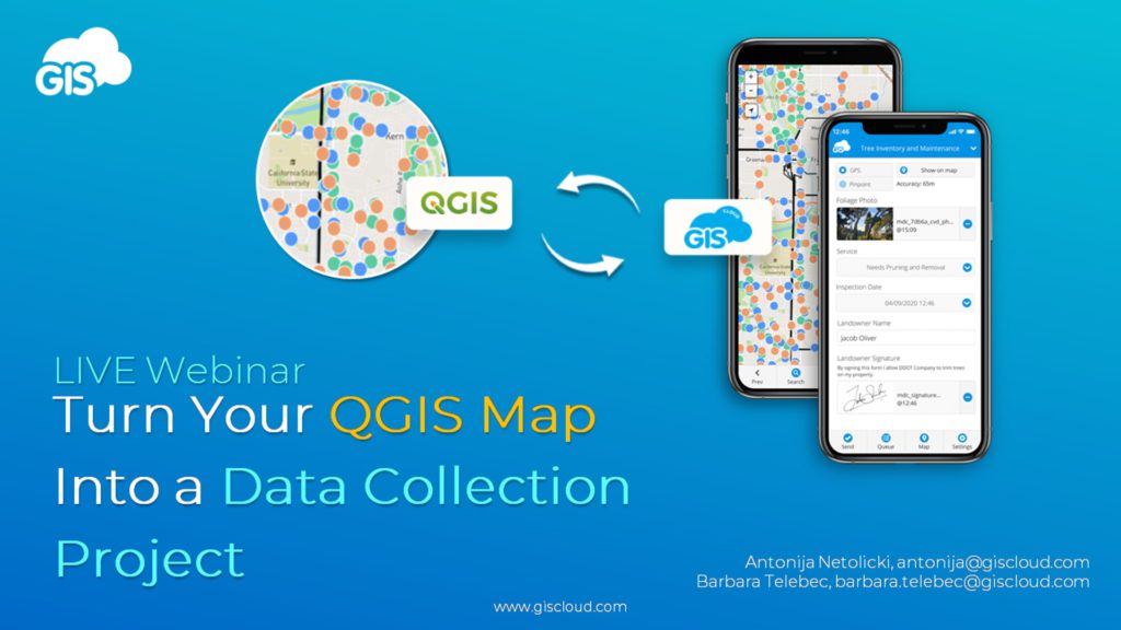
Turn your QGIS map into a data collection project
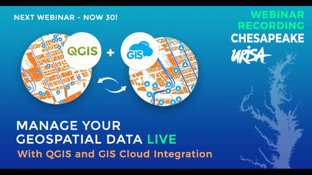
Chesapeake URISA webinar – Manage Your Geospatial Data Live
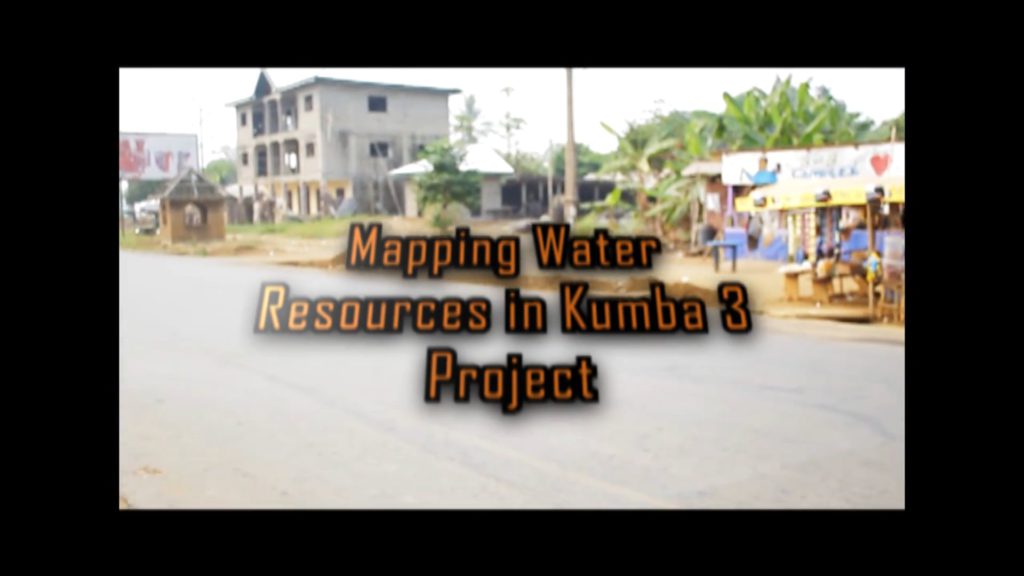
Nonprofit project: Mapping Assets of the Water Supply System in Kumba (Cameroon) to Ensure Safe Drinking Water
GIS Cloud Blog