Skip to content Skip to main navigation Skip to footer

Latest Webinars & Tutorials

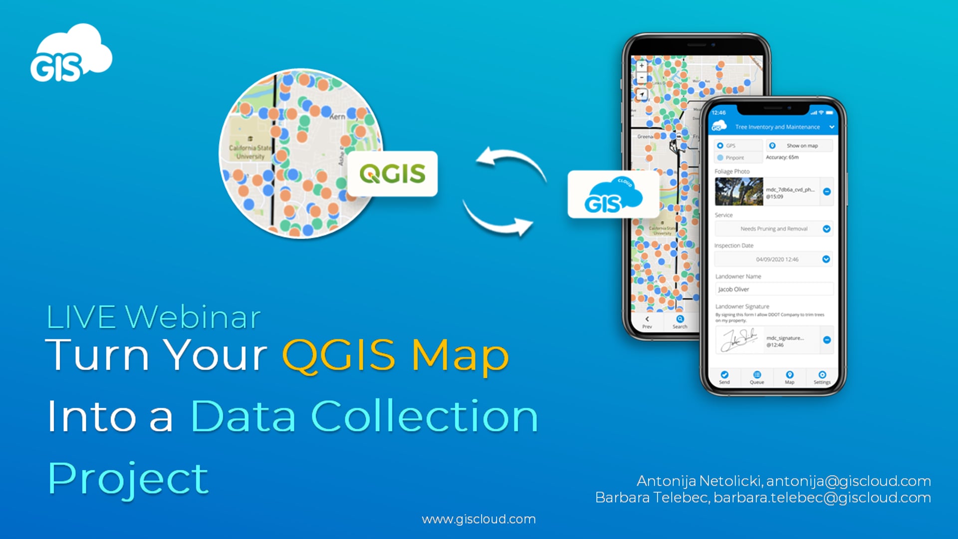
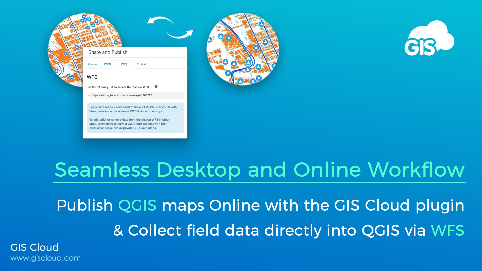
Turn your QGIS map into a data collection project

If you missed our live webinar on Turning Your QGIS Map Into a Data Collection Project, we’ve got your back!

Take a look at our recording and find out everything you need to know about:
– making your QGIS map available online with a single click
– enabling field crews to start collecting data for your, now, live map
– and working with newly collected data directly in the QGIS environment in real-time.

You’ll get to see the full workflow in action, but stay tuned until the end as well as we answer some of your most pressing questions.

If there’s something we didn’t cover or you’d like to discuss your specific project requirements, we’d love to hear from you, so feel free to send us an email at info@giscloud.com.

Happy mapping!

#GISCLOUD #QGIS #webinar #OnlineGIS #mobiledatacollection

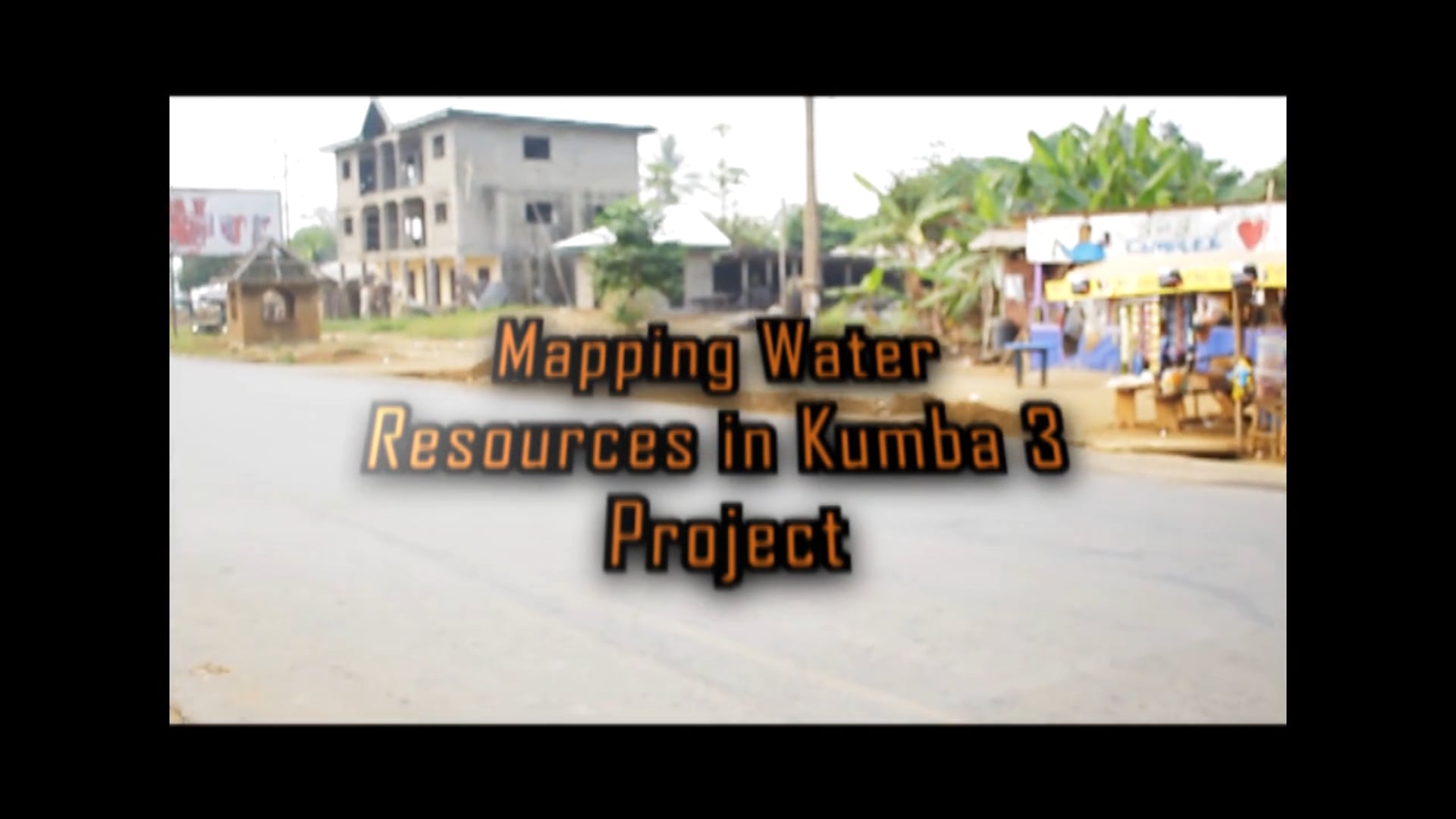
Nonprofit project: Mapping Assets of the Water Supply System in Kumba (Cameroon) to Ensure Safe Drinking Water

In the city of Kumba (Cameroon), displaced people settled in their farms lack safe water access and most of them and their hosts are also facing an increased risk of WASH-related diseases.

The New Generation For Christ NGO designed this project to map water resources using online GIS and a data collection app, to improve existing water points in Kumba (Cameroon) by making provisions of many outlets, and rehabilitating the water points which are not functional, with the goal to increase access to safe potable water and improve health conditions of the local population.

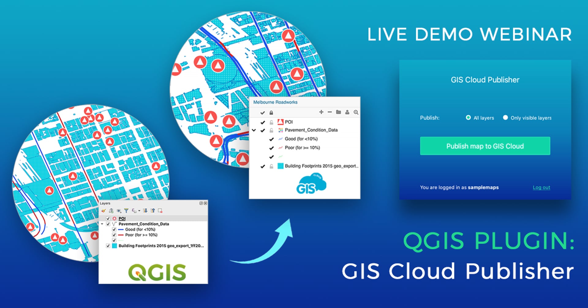
QGIS Plugin for map publishing: GIS Cloud Publisher – Why we made it and what can You do with it – Webinar Recording

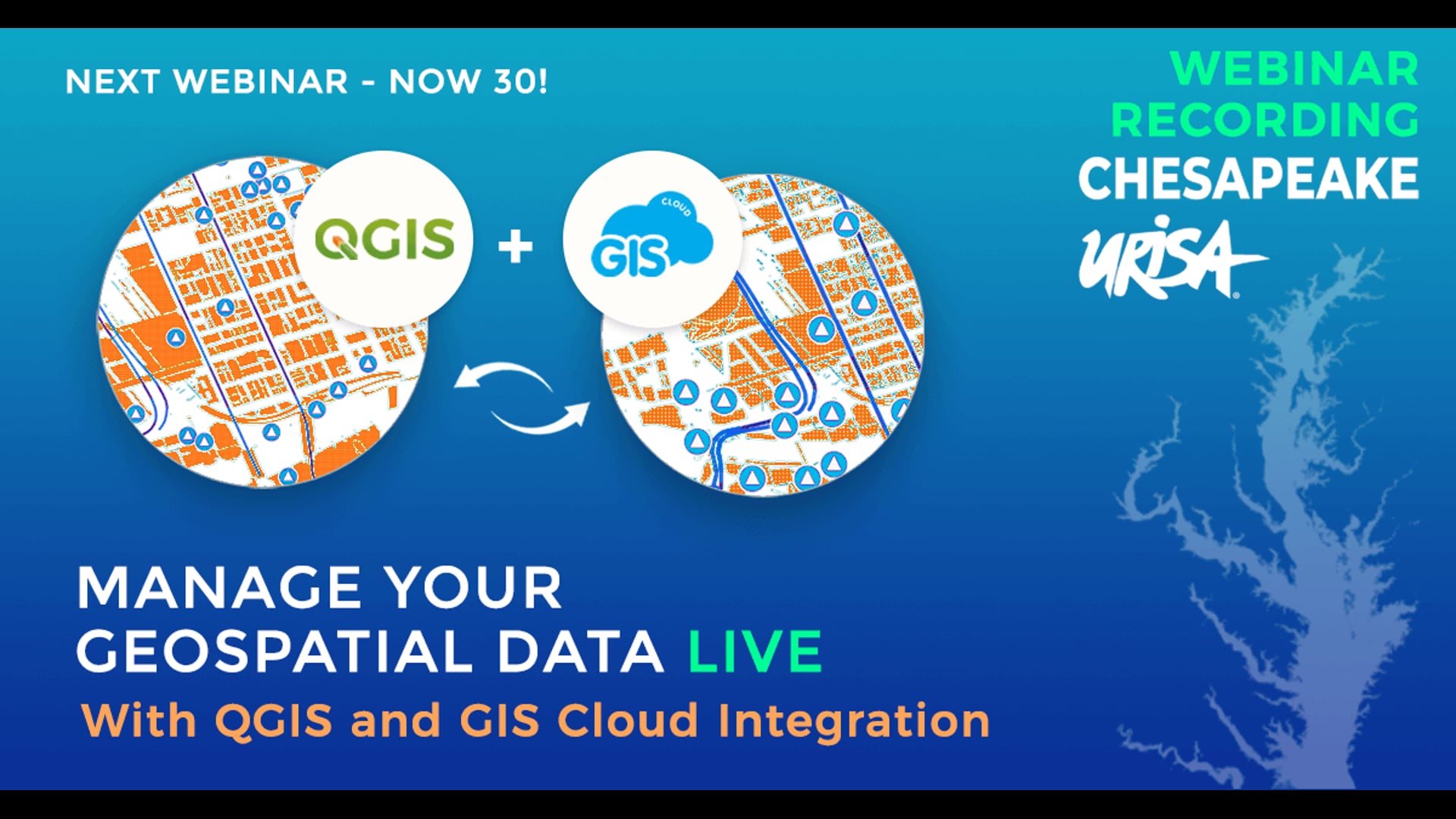
In this webinar, we talked about the QGIS plugin (for map publishing) development process, how we planned the plugin and what features we developed listening to user input. Watch a live demo of the plugin and learn about possible workflows, from publishing and updating your QGIS projects (entire maps or just a couple of layers), sharing your maps online (publicly or privately), collaborating on maps and data, to collecting data in the field directly into your published QGIS maps.

QGIS Plugin Key Features:

– Transfer your QGIS data (vectors, rasters, wms, wfs) and symbology
– Points, lines, polygons, categories, and labels are supported completely
– Upload the entire map, or just a few layers for a fast workflow
– Update changes made to your map or specific layers
– Upload the same map as a new version to GIS Cloud
– Upload as a private or public map
– Give a name to your map
– Share public maps instantly with an URL link
– Share private maps with colleagues inside GIS Cloud
– You can also publish your QGIS analysis by first saving them as rasters
– QGIS is connected to GIS Cloud over a secure SSL connection
– The plugin is compatible with QGIS 3 and QGIS 2 (from QGIS 2.12)