How to view historical data for tracked assets?
In GIS Cloud Track it is possible to view and get insight into historical traces of tracked devices, users and assets.
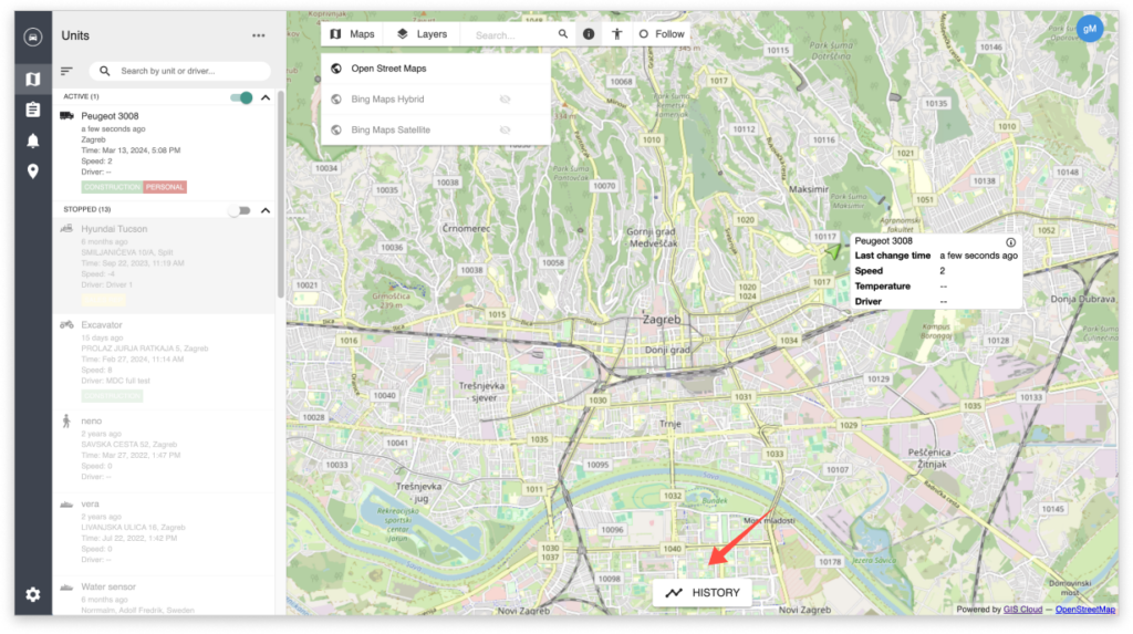
To start viewing a past location of a tracked device or user, first select it in the list of Units. After selecting a tracked Unit, simply click on History at the bottom of the map screen, just like in the screenshot below.
Here you can define the exact dates, time, and other parameters (speed, altitude, etc., depending on what data your sensors are sending) for a unit. Once the parameters are defined, click on “Show”, and the path of the Unit will be displayed on the map.
Parameters like speed and altitude will be displayed in a graph in the same section where you defined the History parameters.
Note: Graphs are available only for historical data that is not older than 60 days.
To remove the displayed historical path from the map, click on “Clear Paths”.
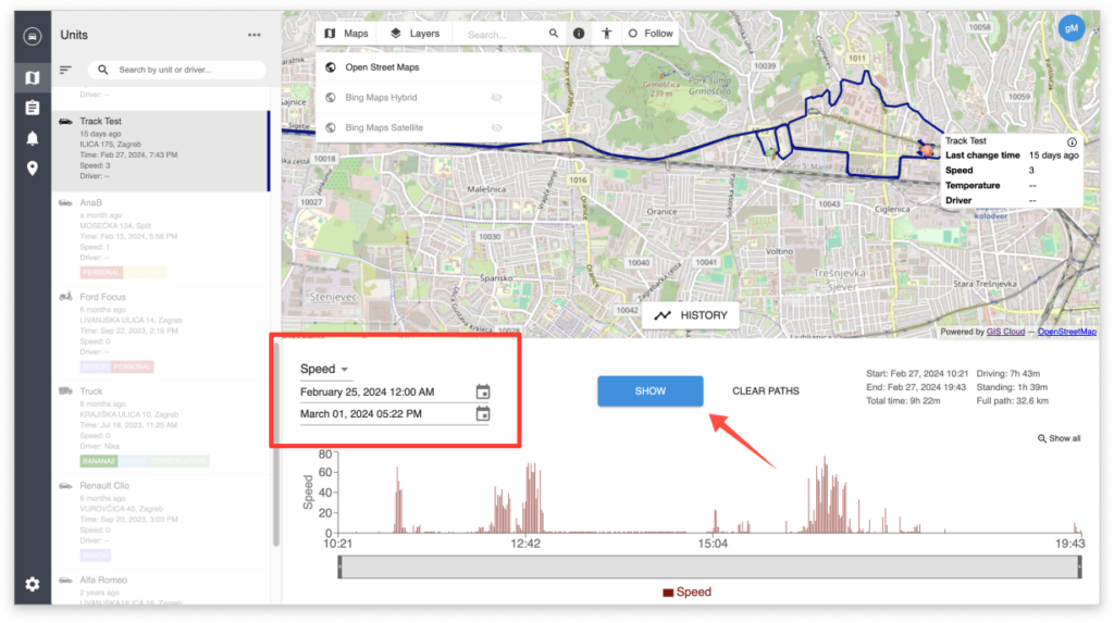
Tip: You can use the mouse cursor to move along the graph, and the location of the tracked unit will be pinpointed on the map!