How to use the Manual option to collect points, lines and polygons?
You can use the Manual (pinpoint) option in the Mobile Data Collection app to collect point, line and polygon data in the field. Using the pinpoint option allows you to collect field data without using the mobile device’s or external GPS.
How to collect point data
Once you created your MDC project with point data or connected your form with a point layer, you can use the pinpoint option to collect point data.
Once you select the pinpoint option, tap on the Select location button. This will open the map and you can choose the location of the point feature. When you are satisfied, tap accept.
How to collect line data
When collecting line data, select the Manual option and tap on Draw a line. This will open the map. Use Add point to add endpoints of your line layer or segment of the line layer. The line layer will be saved and added to the map once you send your data through the form.
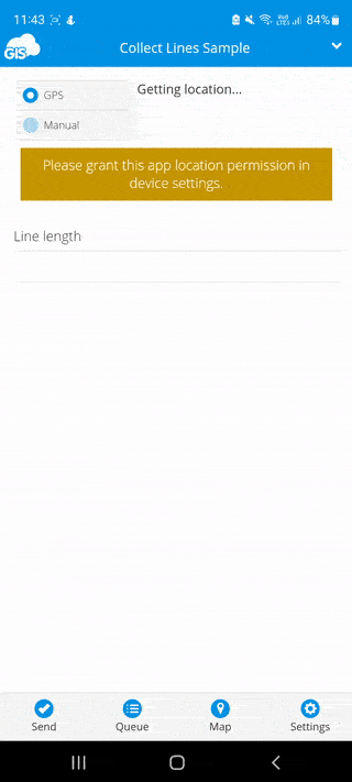
Note: Minimum number of points must be 2.
How to collect polygon data
When collecting polygon data, select the Manual option and tap on Draw a polygon. Once the map is open, use Add points to place the vertices of a polygon. The polygon layer will be saved and added to the map once you send your data through the form.
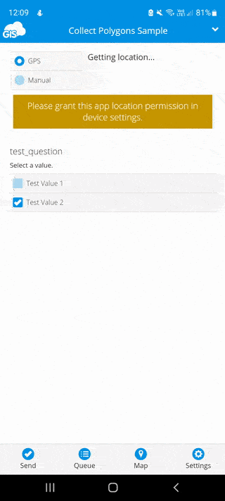
Note: Minimum number of points must be 3.