How to make Area analysis?
Besides the visual representation of data, one of the central functionalities of Geographic Information System is the ability to edit, analyze, connect and compare your data based on their spatial information. Area analysis calculates the surface area of a selected polygon.
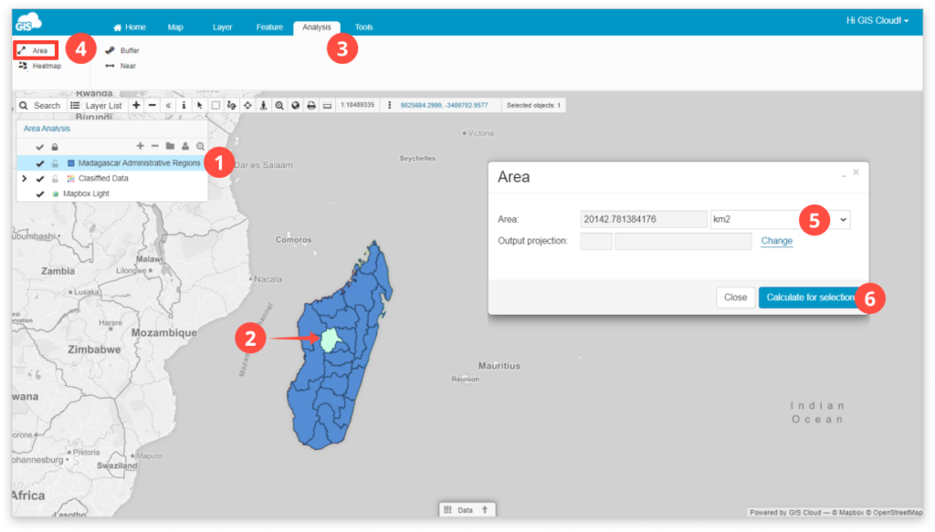
To access analysis tools go to the Analysis tab.
Note: You can perform Analysis only with layers added to the map from the Database. Also, to maintain this data, you can add the Area column in the Datagrid.
To perform Area analysis:
- Select the database polygon layer.
- Select the layer’s feature.
- Click the Analysis tab.
- Click Area icon.
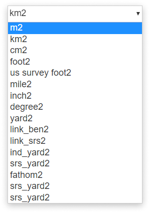
- Select units of measurement from the drop-down list.
- Click Calculate for the selection button.
Feel free to check out the rest of our analysis tools – Buffer, Heatmap and Near.