How to add a POI layer?
In GIS Cloud Track you can add POI layers to the default map. POI layers are used to represent specific locations that are frequented by tracked vehicles, users and assets.
POI layers are also used for creating specific reports and alerts within GIS Cloud Track. More information on generating reports is available here. A guide for setting up alerts is available here.
To begin, open the POI tab and a panel will open on the left side of the screen. From here you can choose to add a new POI group or you can choose to add an already existing layer from the database from your GIS Cloud account.
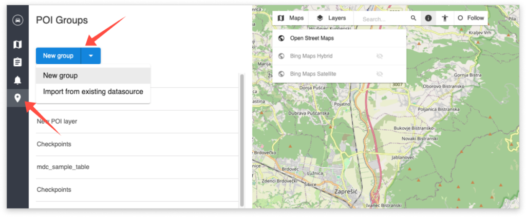
When adding a new POI group you can choose to create point or polygon features which can be pinpointed or drawn on the map.
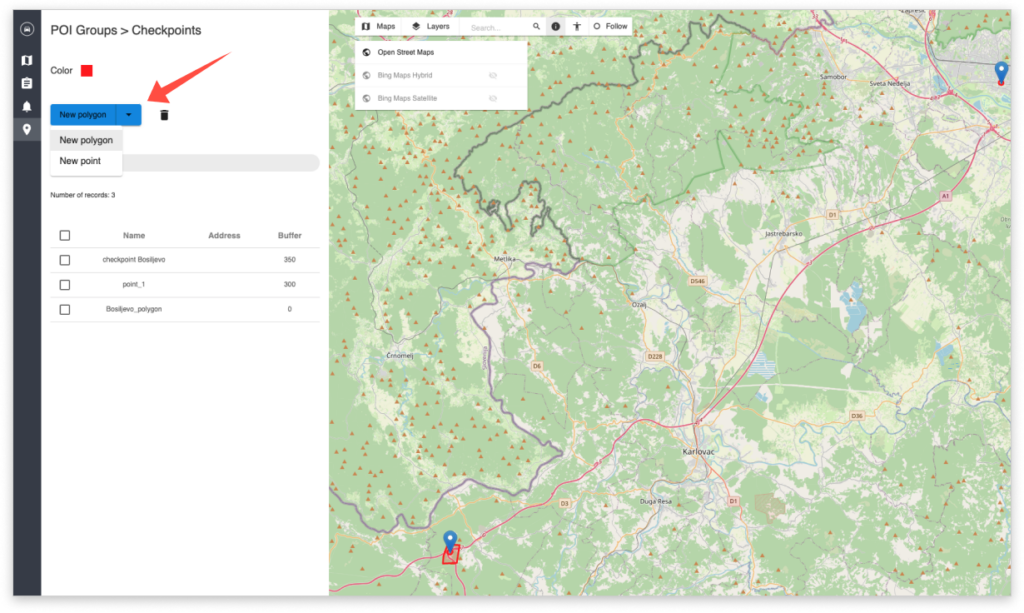
Tip: You can set buffers around point features!
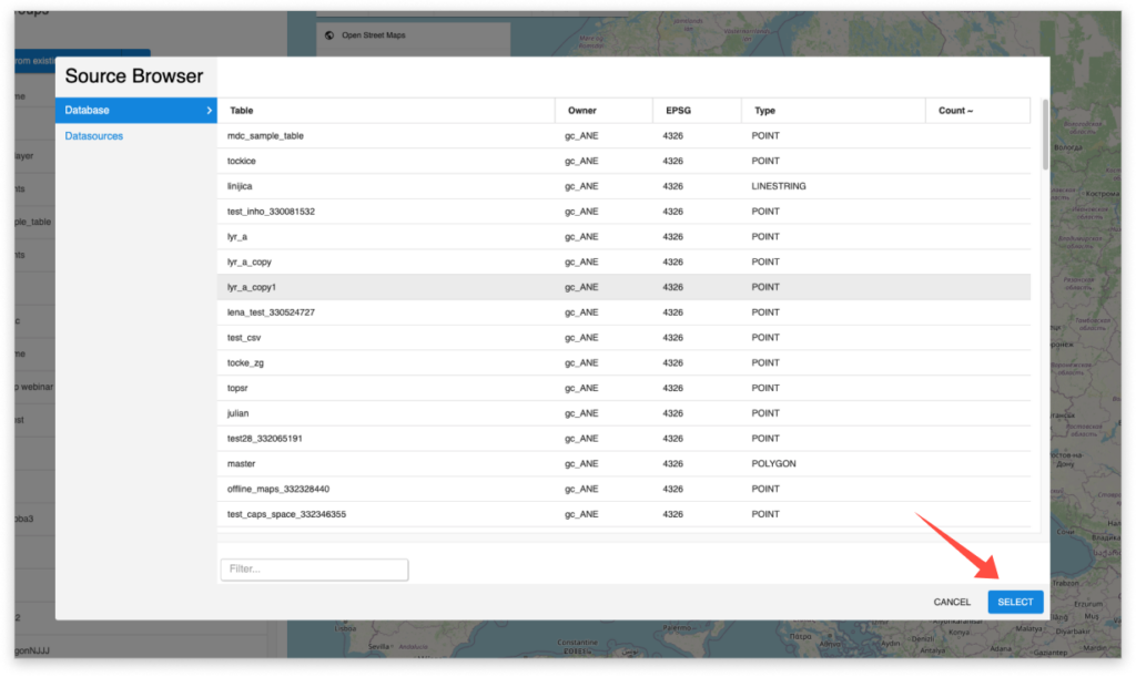
To add an existing layer from your GIS Cloud storage, click on Import from existing datasource, this opens the Source Browser window from where you can choose an existing layer from the database or any other datasource that has been shared with you by another user.
To import a layer, choose it from the list and click on Select.