How to attach geotagged photos?
GIS Cloud has implemented the possibility of adding geotagged photos to your point data, where the latitude and longitude attributes (metadata) automatically create a point.
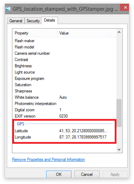
Note: photo has to have GPS location in EXIF file (GPS latitude and longitude)
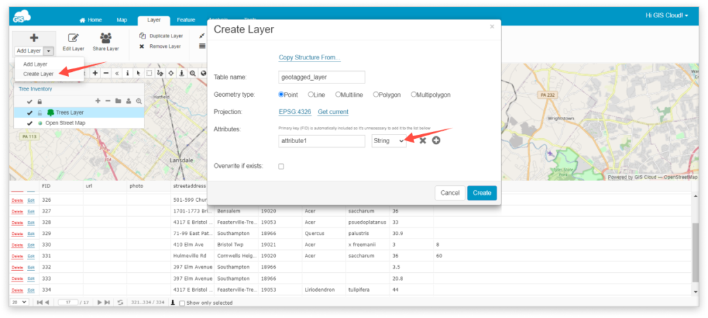
- Create a new point layer and add one String attribute. Find more about creating new layers.
- From the Feature tab select Add geotagged images in the dropdown menu.
- Choose the attribute column where you want your geotagged image to be added.
- Select photos from the File Manager. Click the Close button once the green color indicates the image is uploaded
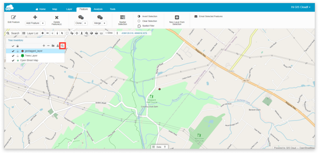
- Double click on the layer and go under the Display tab
- Click Get bounds from source and Reinitialize layer
- After bounds are updated click Save button
- Zoom to layer