How to remove black edges from rasters?
It is possible to remove black edges from the georeferenced rasters in GIS Cloud Map Editor.
Note: Multiband (RGB 8-bit and 16-bit) and single-band rasters are supported.
Follow these steps to remove black edges from rasters:
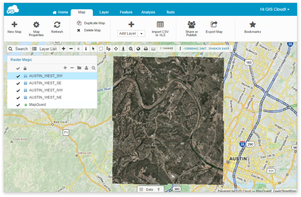
- Add georeferenced raster on a map in Map Editor.
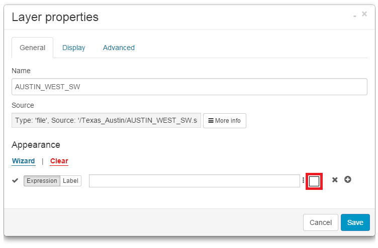
- Open Layer Properties (Layer tab – Edit layer).
- Click on the white box under Appearance.

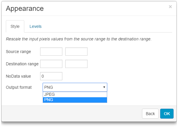
- Set NoData value to 0 and under Output format select PNG. Note: If you are using 16-bit rasters, then set Source range from 0 to 65535. For 8-bit rasters, this modification is not needed.

5. Click OK and Save.

Repeat process for each raster in the map.
If black edges didn’t disappear please check:
- Only RGB (3-band) rasters are supported
- NoValue data is usually 0, but it can be different too. Try adjusting NoData Value to 1,2,3 etc.
- If the edges are white, set NoData Value to 255
- If there are some “crumbs” left in place of black edges, it is necessary to adjust the source range. The Source range is by default set from 0 to 255. If there are “crumbs” left, that means that the black edge was not black but a shade different. You can try to adjust the source to e.g., 5 to 255. Values from 0 to 4 will be hidden.
