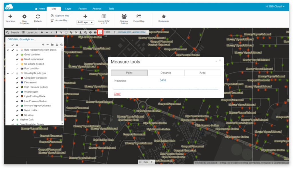
Measure Tools
Measuring tools allow you to get the point coordinates (latitude and longitude), measure distance between points or length of a line feature, or measure and recalculate area of the polygons.
Set your local projection to perform higher precision.
Select Measure tools form the toolbar.

Point
Click on the point on the map and get coordinates. Also, you can change the latitude/longitude format by changing a projection.
Distance
Measure distance between two points or length of a line. It is possible to change measuring units by clicking on the dropdown menu.
Area
Measure the area by drawing a polygon. Finish the polygon clicking on the last point. To change measurement units, click on the dropdown menu. Also, change the projection to get more precise results.
You can quickly recalculate the area by choosing different measuring units. The result will be visible in the box.
