Geotagging in Map Editor
May 26, 2015
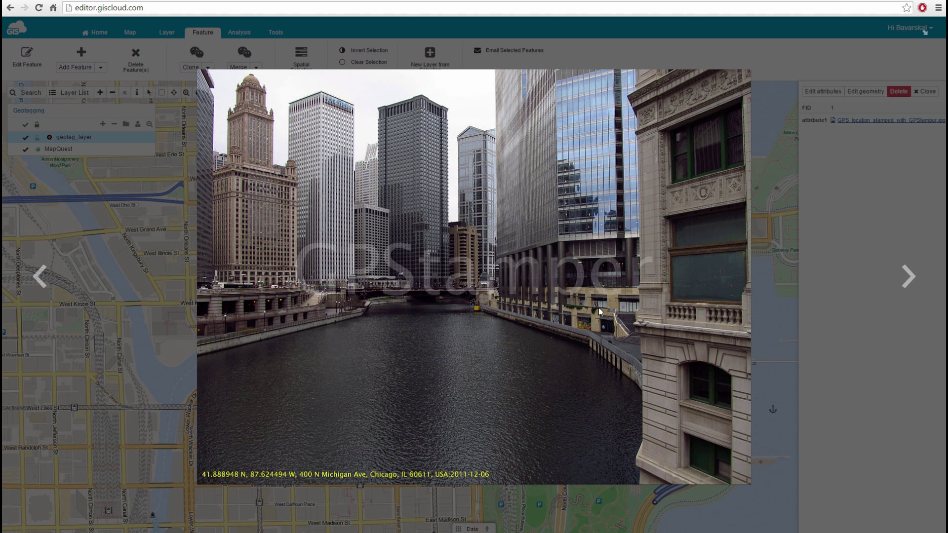
GIS Cloud has implemented the possibility of adding geotagged photos to your point data, where the latitude and longitude attributes (metadata) automatically create a point and zoom into the location of the photos taken.
Check out the video to get more info!