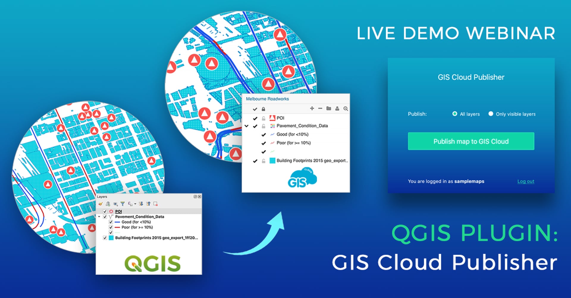
QGIS Plugin for map publishing: GIS Cloud Publisher – Why we made it and what can You do with it – Webinar Recording
July 26, 2020

In this webinar, we talked about the QGIS plugin (for map publishing) development process, how we planned the plugin and what features we developed listening to user input. Watch a live demo of the plugin and learn about possible workflows, from publishing and updating your QGIS projects (entire maps or just a couple of layers), sharing your maps online (publicly or privately), collaborating on maps and data, to collecting data in the field directly into your published QGIS maps.
QGIS Plugin Key Features:
– Transfer your QGIS data (vectors, rasters, wms, wfs) and symbology
– Points, lines, polygons, categories, and labels are supported completely
– Upload the entire map, or just a few layers for a fast workflow
– Update changes made to your map or specific layers
– Upload the same map as a new version to GIS Cloud
– Upload as a private or public map
– Give a name to your map
– Share public maps instantly with an URL link
– Share private maps with colleagues inside GIS Cloud
– You can also publish your QGIS analysis by first saving them as rasters
– QGIS is connected to GIS Cloud over a secure SSL connection
– The plugin is compatible with QGIS 3 and QGIS 2 (from QGIS 2.12)


